MeteoSurf APP 
A free marine forecasting App designed to provide
wind and wave conditions of the Mediterranean Sea.
A free marine forecasting App designed to provide
wind and wave conditions of the Mediterranean Sea.

MeteoSurf is primarily designed for the marine sports community, providing an additional source of weather information and forecasts, as well as for anyone who needs detailed insights into sea conditions.
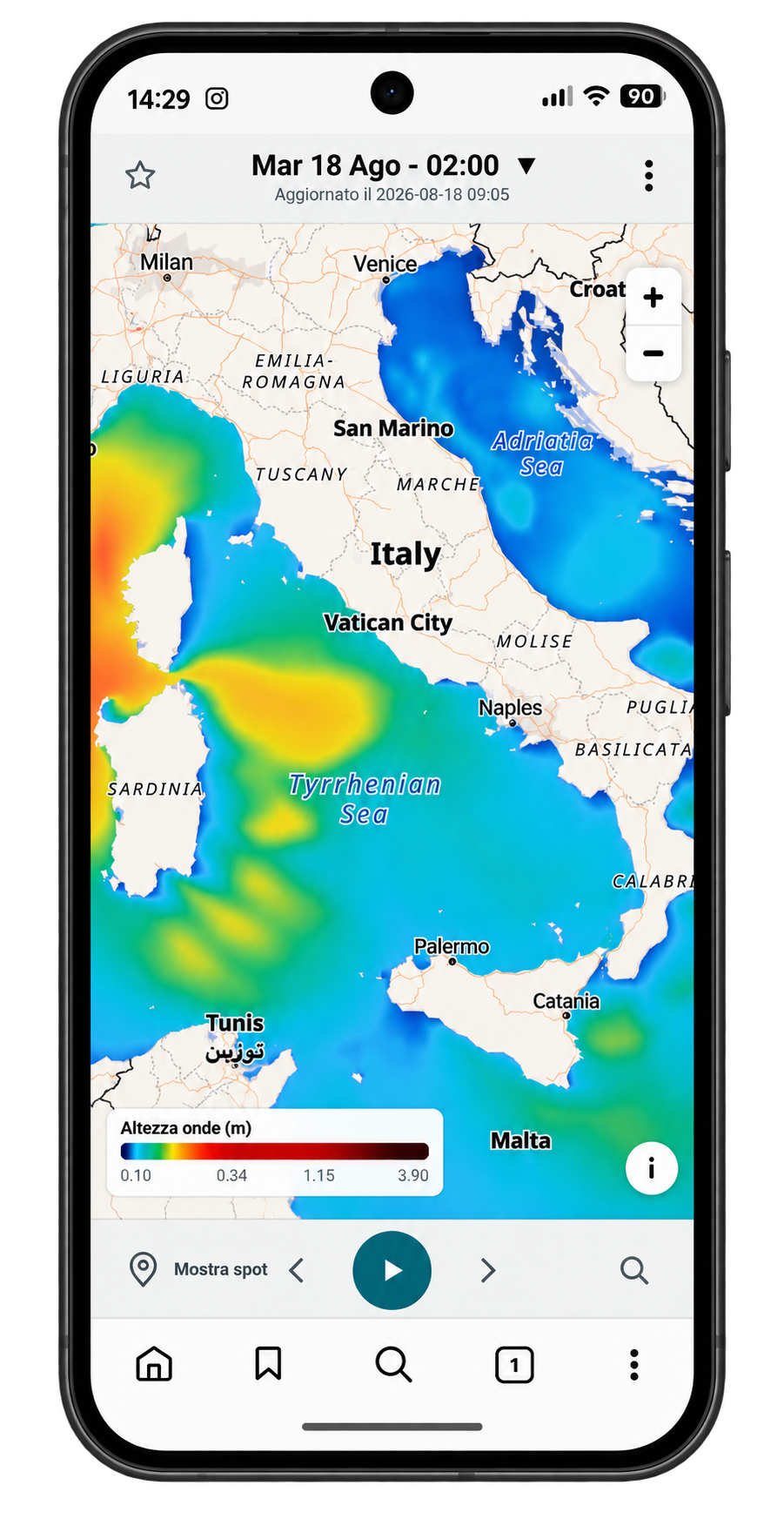
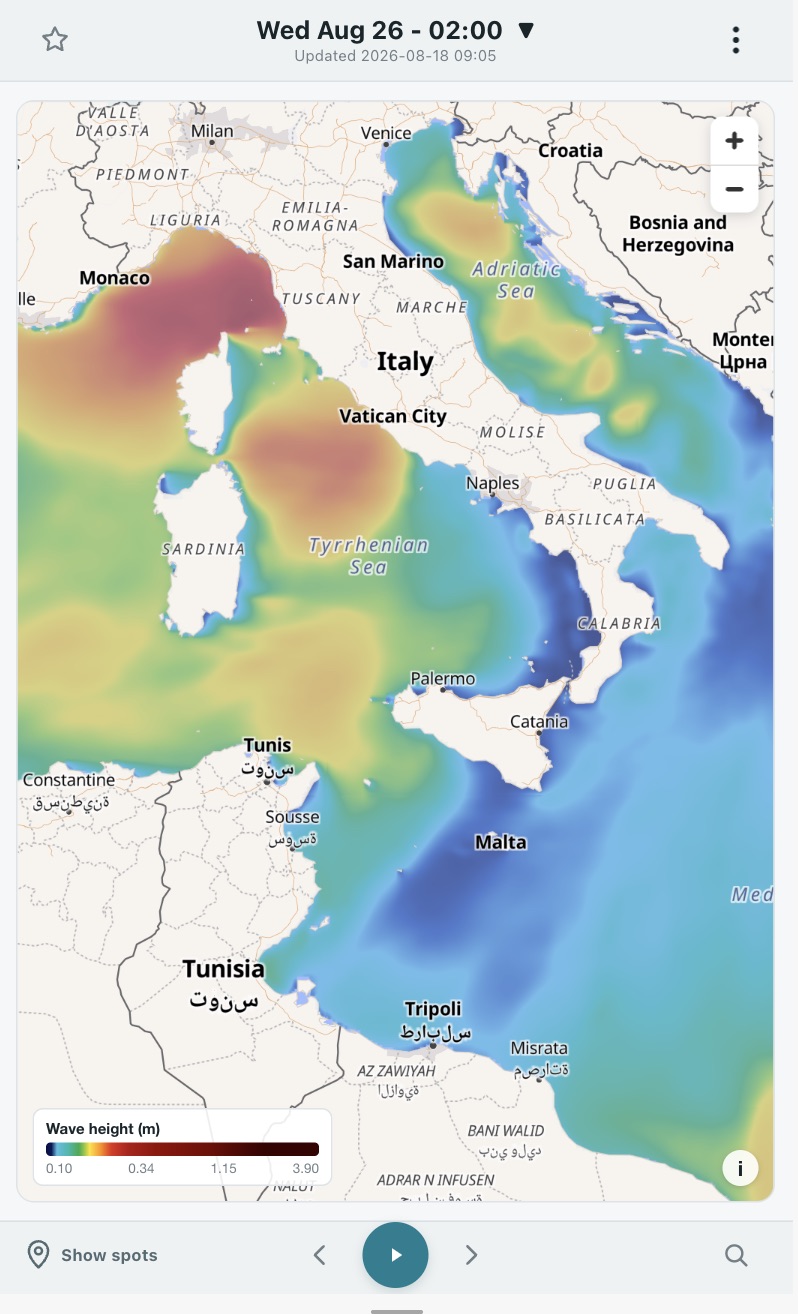
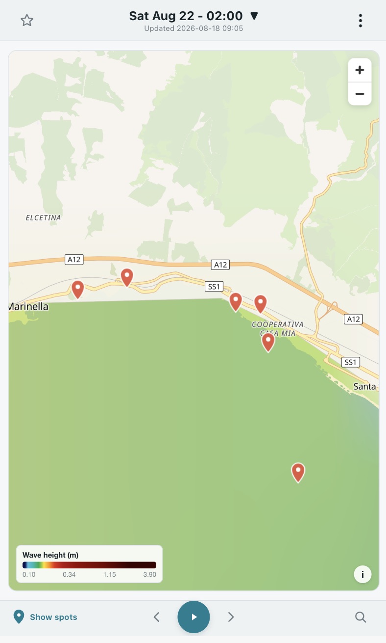
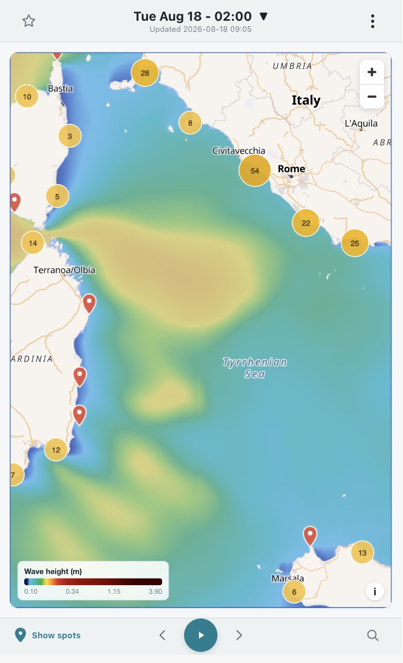
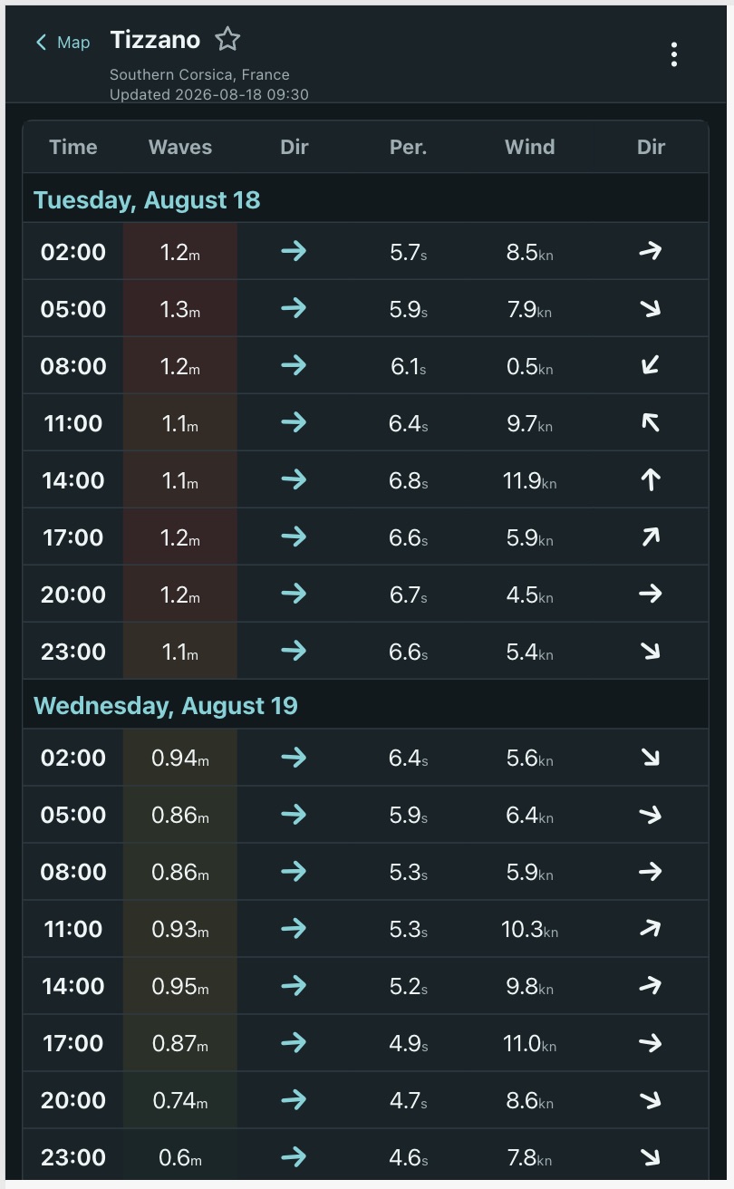
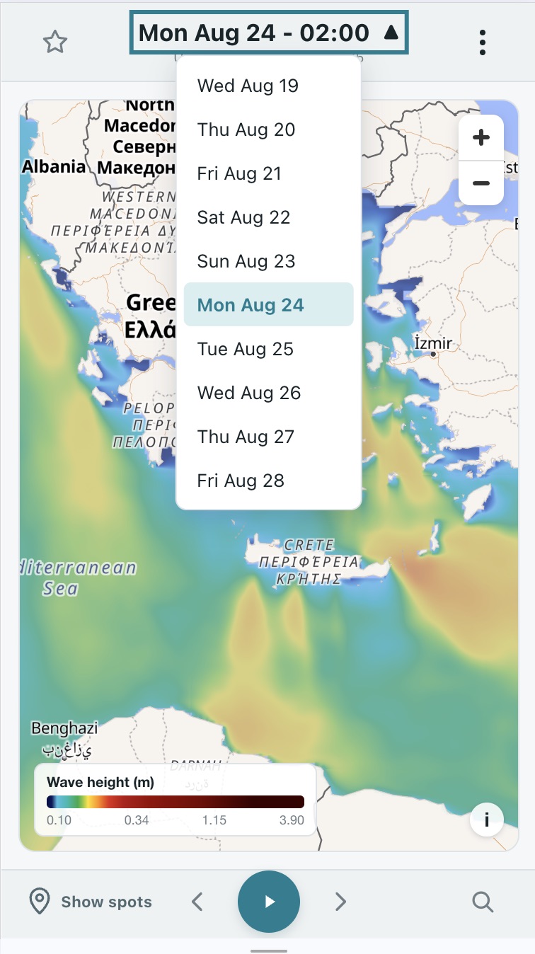
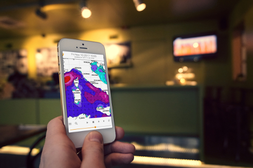
Data is presented through animated weather maps or detailed forecast tables. The interactive maps cover the entire Mediterranean, while the tables provide specific information for each of the region’s major surf spots.

Two different views of wave heights across the Mediterranean, displayed on interactive maps.
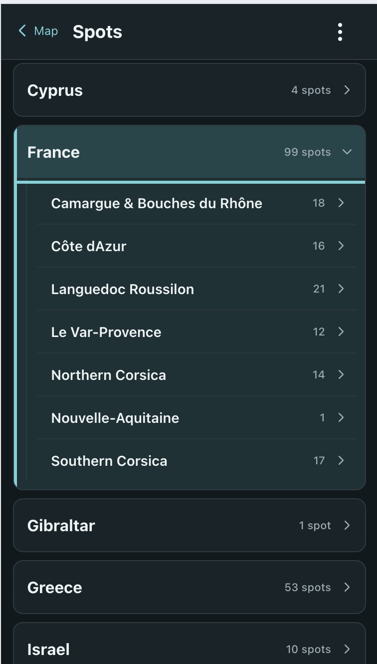
A database of over 1,000 individual spots, providing detailed 5-day forecasts at 3-hour intervals.
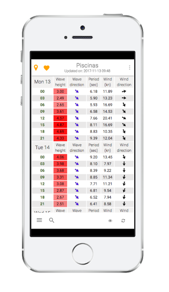
Find your spot by Country/Zone, or select it directly from the interactive spot map.
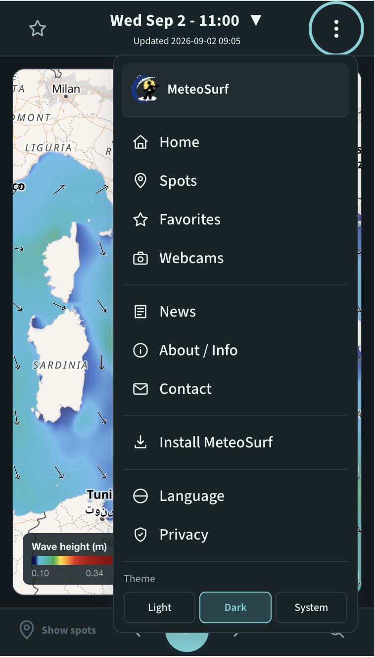
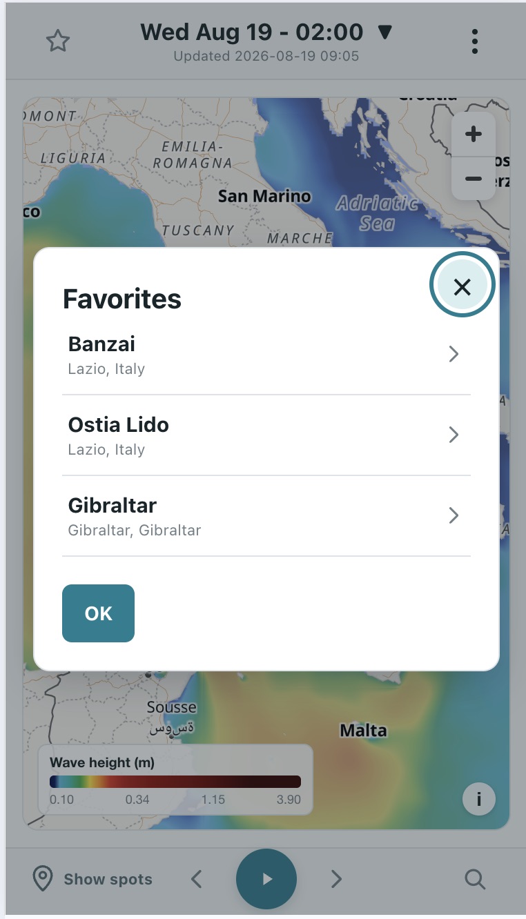
Select your favorite spots by clicking the star icon in the header and save them to a list for quick and easy access later!
Can't find your spot in the database?
No problem, just drop us an email and we will add it!
Click on the thumbs to enlarge image.
Android / Chrome
Open MeteoSurf 5. After choosing your privacy settings,
the app will automatically prompt you to
Install MeteoSurf.
iPhone / iPad
Open MeteoSurf 5 in Safari. Tap
Share (or
More → Share),
select Add to Home Screen,
and complete the installation.
Computer
Open MeteoSurf 5 using a compatible browser
and use the app installation option available in the browser.
All mobile operative systems.
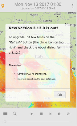
No need to download updates! As a *Progressive Web App*, MeteoSurf is always kept up to date automatically.
MeteoSurf data is provided by the following services: